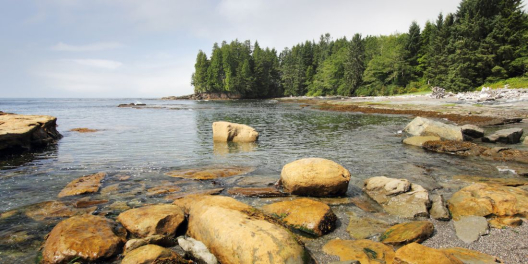
We’re getting our first sunny beach days of the summer.
This seems like a cause for celebration. There really is nothing like getting some real sun after what seemed like a long winter.
But while many of us will be out enjoying the warmth, it is, unfortunately, cause for concern.
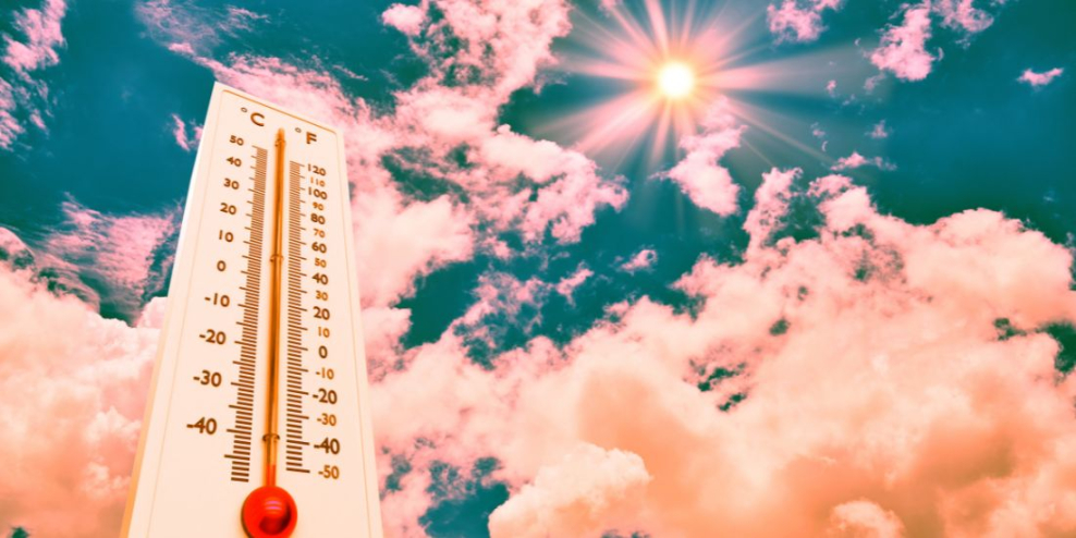
While the 10-15 degrees above normal temperatures hitting this week aren’t expected to replicate the deadly temperatures of the Heat Dome of June 2022, they are a hint that this may be the end of La Nina.
La Nina is the periodic cooling of sea-surface temperatures across the east-central equatorial Pacific.
This is a cycle that occurs every few years.
The cooling “La Nina” is followed by a period of “El Nino,” which is a warming of these waters that has just the opposite effect.
“We just had the eight warmest years on record, even though we had a cooling La Niña for the past three years, and this acted as a temporary brake on global temperature increase. The development of an El Niño will most likely lead to a new spike in global heating and increase the chance of breaking temperature records,” said WMO Secretary-General Prof. Petteri Taalas.
Climatologists predict the El Nino climate pattern is cycling its way back, and it will push up global temperatures even higher later this year and through 2024.
As that pattern takes hold, some climate scientists are warning 2024 could bring 1.5 degrees Celcius of global warming. The first time that has happened since pre-industrial times.
This is the spike in global warming that the UN and other countries have been working to avoid. It’s also a taste of what is expected in the decades ahead.
For the moment, Island residents should prepare themselves to beat the heat.
The highest temperatures are expected on Sunday and Monday.
And with the spike in temperatures could come other problems. Increased snowpack melt could lead to local flooding due to high stream flow levels.


