Nose hairs across VanIsle are freezing together this week. Folks who have lived on the Island their whole lives are going outside and going, “what the $&%* is this???”
We had the heat dome. We lived through the atmospheric rivers. Now we’re getting an arctic outflow.
But wait—what the hell is an arctic outflow?
Basically, it’s really cold air from the arctic (duh). The name comes from how the cold air gets here.
An arctic outflow starts in the high arctic, where it’s supposed to be cold. When the weather is really clear, there are no clouds to keep the sun’s heat in. A large air mass forms, and that air is dense and super cold.
Because the air is so dense, it starts to move like water. Great—more rivers in the sky.
Wind from the north starts to blow that air clockwise from the arctic and down into northern BC and Alberta. The wind picks up speed there because the land is so flat.
Usually, air that dense can’t get up over the Rockies. It’s too heavy. But it can get through all the valleys and low mountain passes.
And when those valleys get wider, the wind picks up.
And the air flowing into the Lower Mainland and Vancouver Island is around -15ºC or colder.
That’s why it’s called an arctic outflow—the cold air from the arctic flows like water into northern BC and then flows through the valleys toward us.
And that’s why we’re seeing new cold temperature records on the Island.
It was -11.7º C in Port Hardy on December 27th. The old record was -10, and that was set in 1968.
It was -16.5 ºC in Port Alberni on December 27th. The old record was -9.4. That was also set in 1968.
2021 was a year of extremes in BC. We largely avoided the nonsense in 2022 (aside from the drought).
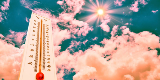
But remember Lytton? It was the hottest town during the heat dome in 2021. It reached 49.6ºC the week before it burnt down. On December 27, 2021, it was -25.4ºC. That’s a 75-degree difference.
Philipe-Alain Bergeron is a meteorologist from Environment and Climate Change Canada. He told the Vancouver Sun that the heat dome was still more extreme than last year’s cold snap.
“By far the most extraordinary (factor) is really the anomalous heat in June,” he said. “The cold…is not as extreme, but it is, of course, very, very significant.”