For the first time this century, La Niña has returned for the third year in a row. Hence the “triple dip.”
“It is exceptional to have three consecutive years with a la Niña event,” Petteri Taalas, Secretary-General of the World Meteorological Organization, said in a recent statement.
La Niña means “the girl” in Spanish. And this girl packs a big punch. In weather terms, La Niña happens when strong winds blow warm water on the surface of the Pacific Ocean near South America across the equator towards parts of Asia and Australia.
With all that warm water pushed away, it lets cooler water come up to the surface. And that causes global weather impacts. In some parts of the world, like southern California, that means drier conditions. Rain clouds are pushed out to sea, which makes the drought there even worse.
But in places like Indonesia and Australia, La Niña can deliver heavy rainfall.
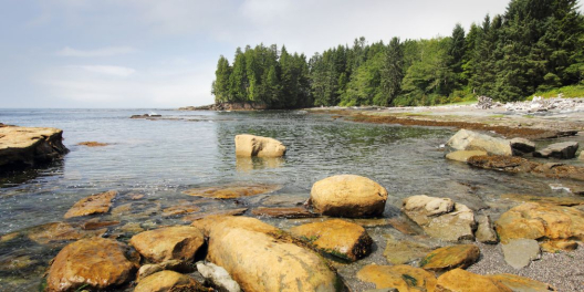
Up here in the Pacific Northwest, it means cooler temps and big rain. VanIsle skiers could be high-fiving: it’s good news for building up a deep mountain snowpack. Those snowpacks also keep rivers flowing and lake levels high throughout the summer and early fall.
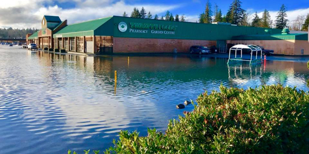
But La Niña can also generate catastrophic rain events and flooding in our part of the world.
Remember November, 2021? That’s when some communities like Hope got drenched by between 200 and 300 mm of rain in less than three days. That’s way, way more than normal.
That vicious storm flooded farms in the Fraser Valley, destroyed homes in Merritt and Princeton, and blew out bridges and stretches of highway on the Coquihalla and elsewhere.
Those kinds of storms can also knock out power on the northern part of VanIsle. In smaller places, that means the power can be out for days—or weeks.
Brett Anderson, a senior meteorologist with AccuWeather, says Western Canada should brace for a big one.
“An active, Pacific storm track is anticipated to be directed into British Columbia this fall, which will favour above-normal rainfall and cloudier, cool days,” Anderson says.
If you’ve had enough of the sunshine, don’t worry—rain is coming.