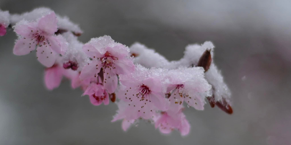
If you think it’s been a snowy April, you’re right. Spring on the coast can be fickle, and this winter doesn’t want to go without a fight. Here’s what’s behind it.
In the middle of April, a low-pressure system moved across the island. At the same time, the jet stream was pushing out to the west and dropping south. This allowed a northeasterly flow to push cold air over many parts of Vancouver Island. Low-pressure systems spin counterclockwise, which in this case is sucking in colder air from the north.
In simpler terms, a low filled with moisture was drawing in cold Arctic air. That means we’re getting more snow at lower elevations than we’d expect to see in April.
Convective energy has added to the weather-watching excitement and even brought some weak thunderstorms.
Nanaimo residents were treated to a thundersnow event—a thunderstorm while it snows. How about that for a truly Canadian weather phenomenon?
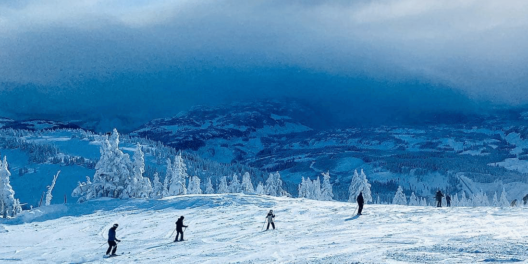
Haters of snow are consoled by the fact that it’s warm enough to keep the snow from sticking around long. Lovers of snow—well, they’re still skiing and snowshoeing.
Meteorologists expect things to stay cold and damp till the end of the month.
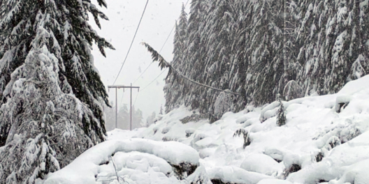
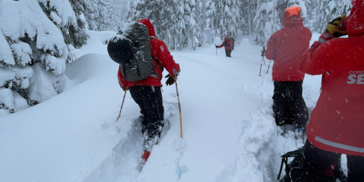
For those who are tired of reaching for the umbrella, consider the upside. Cool, moist weather means snow continues to fall in the mountains of Vancouver Island. That’s great news for fish, rivers, streams, and lakes that rely on water stored in the snowpack all summer long.
Remember the heat dome of last summer? A deep snowpack high in the watershed is like an insurance policy against summertime droughts.
All that extra snow and rain can also dampen fire season. And that’s good news for all of us.